


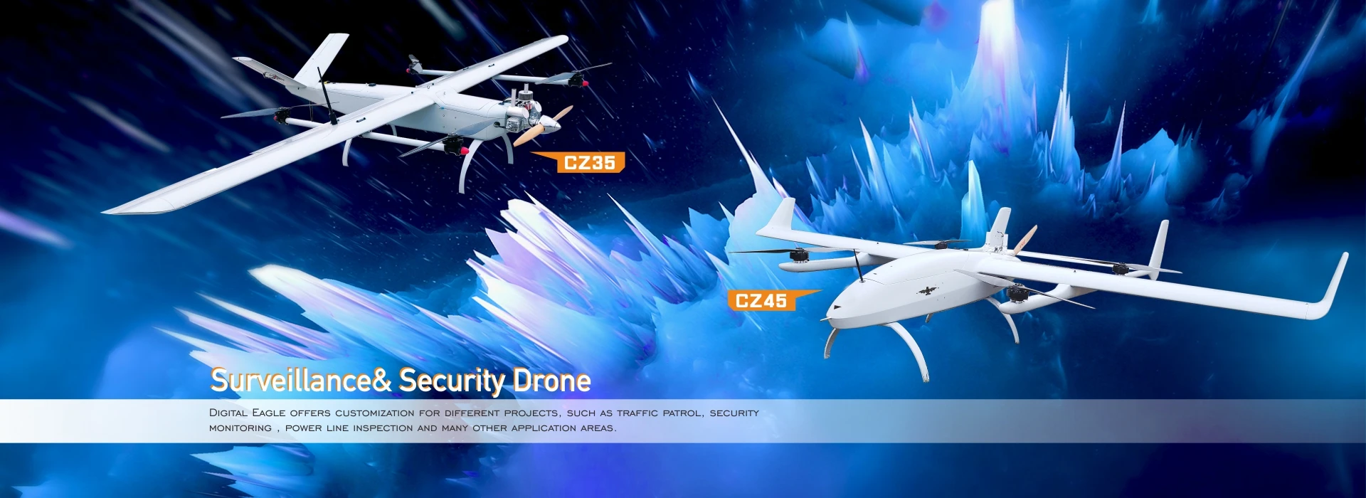
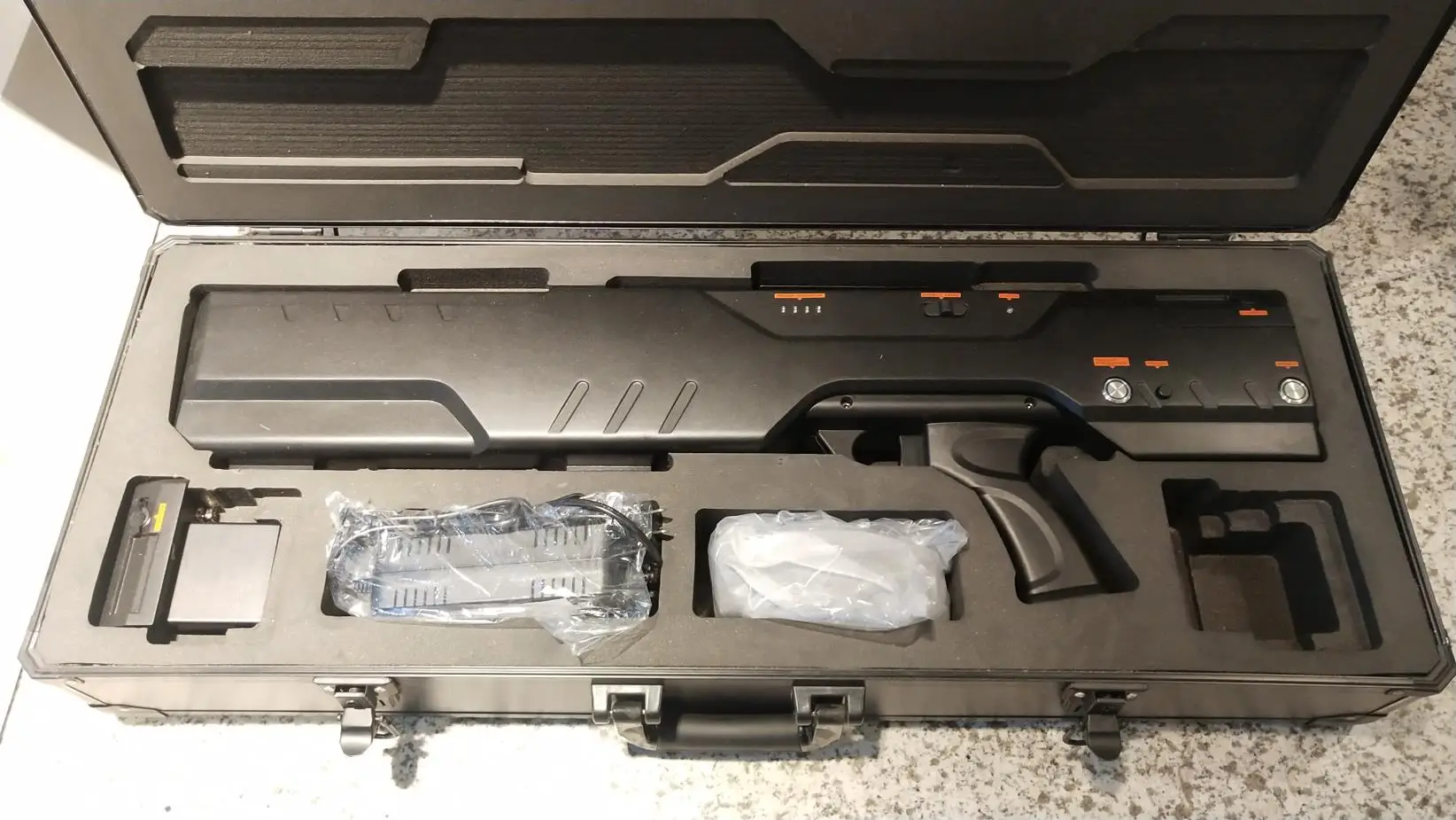
1.Supervisory control
DE has developed all-round, multi-level UAV moitoring system, which has participated in the police anti-terrorism task in many cities, at the same time for civil use, it also has been taken fancy by many famous enterprises, participated in oil fields, mountains and other supervision and patrol tasks.


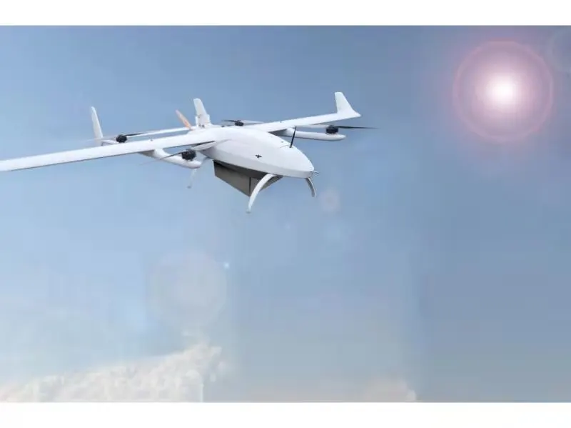
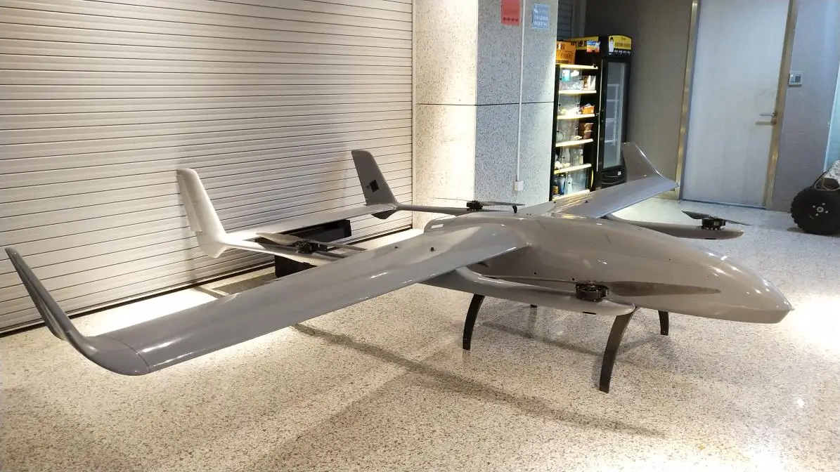
2022 Vtol Uav
(0)
Perkiraan Waktu Pengiriman:
3 hari
Dijual oleh:
Digital Baby
Digital Baby
Harga:
Rp69.999
/Pc
Pengembalian dana:
Produk Paling Laris
Product Description

Specification
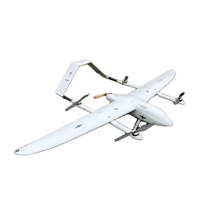
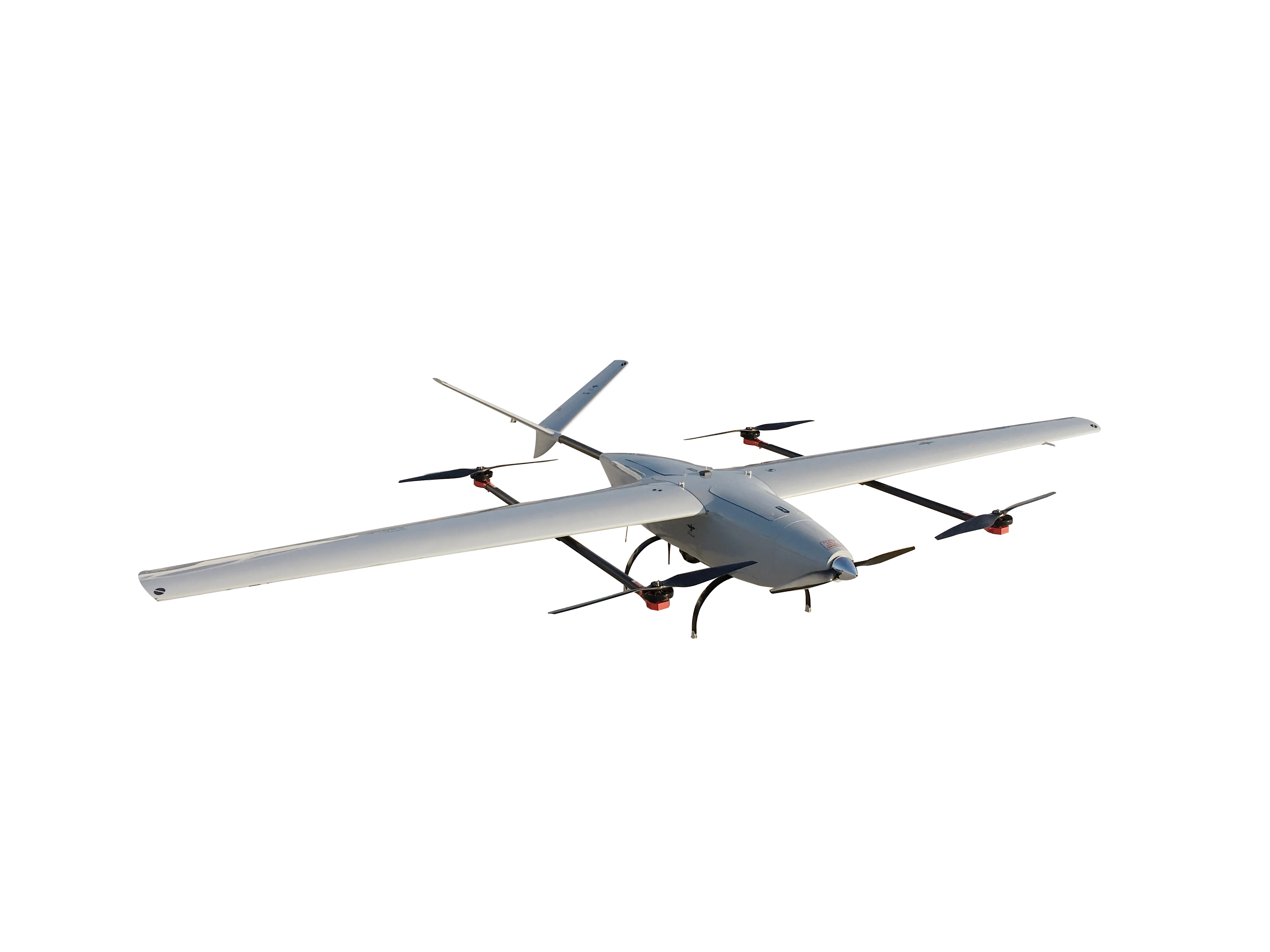
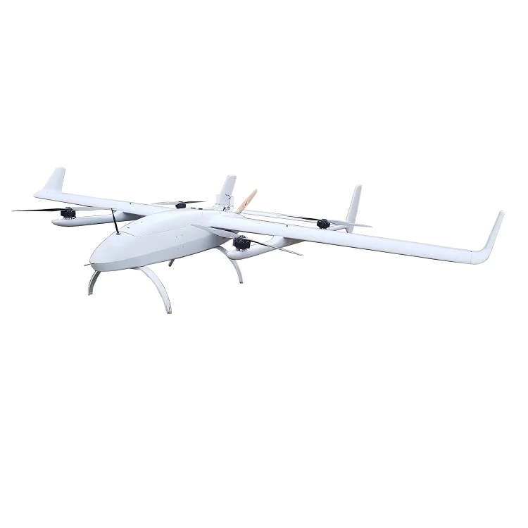
Material | Carbon Fiber, Fiber Glass, Aerospace Composite Materials |
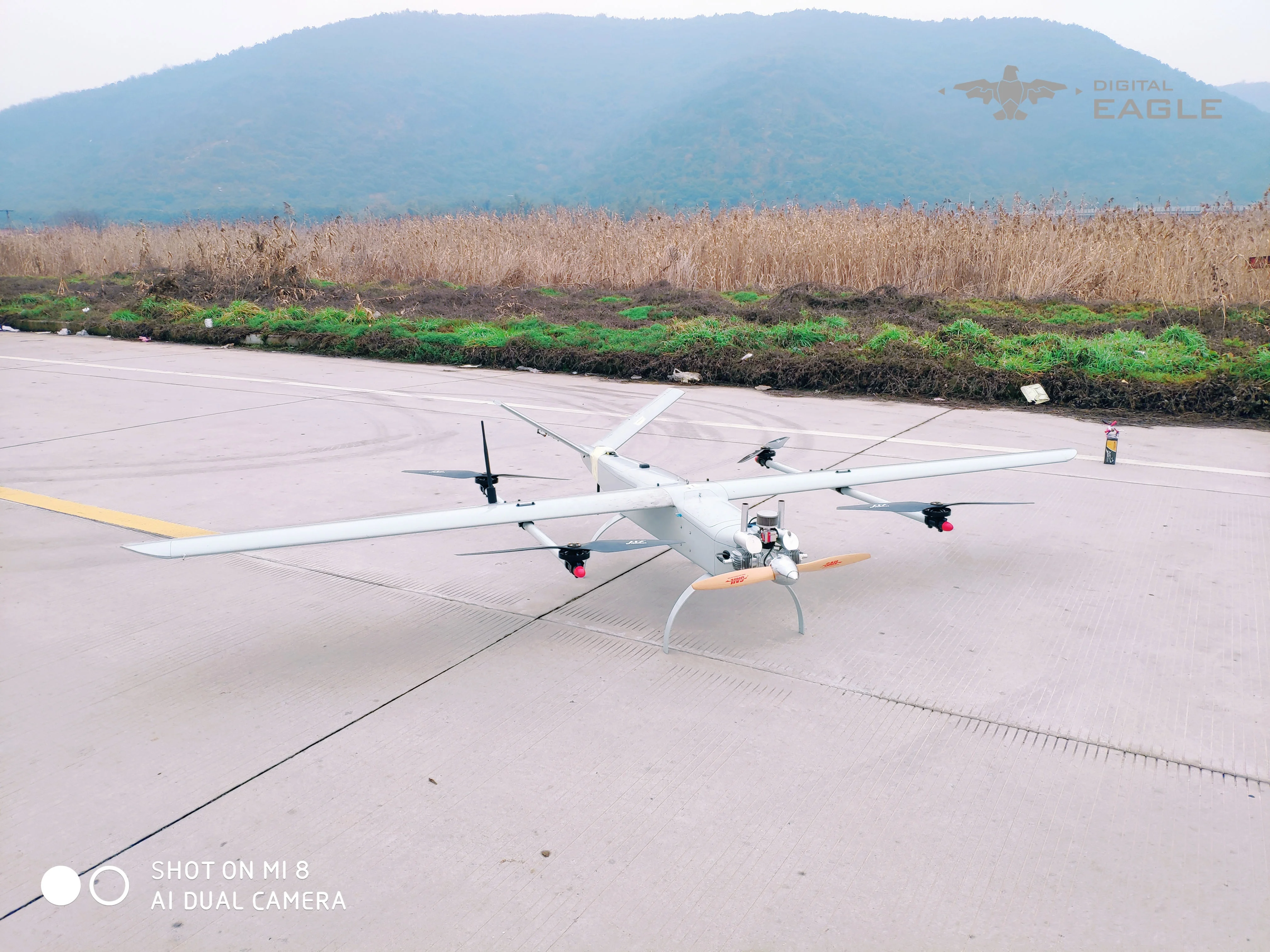
Structure | Fixed wing structure |
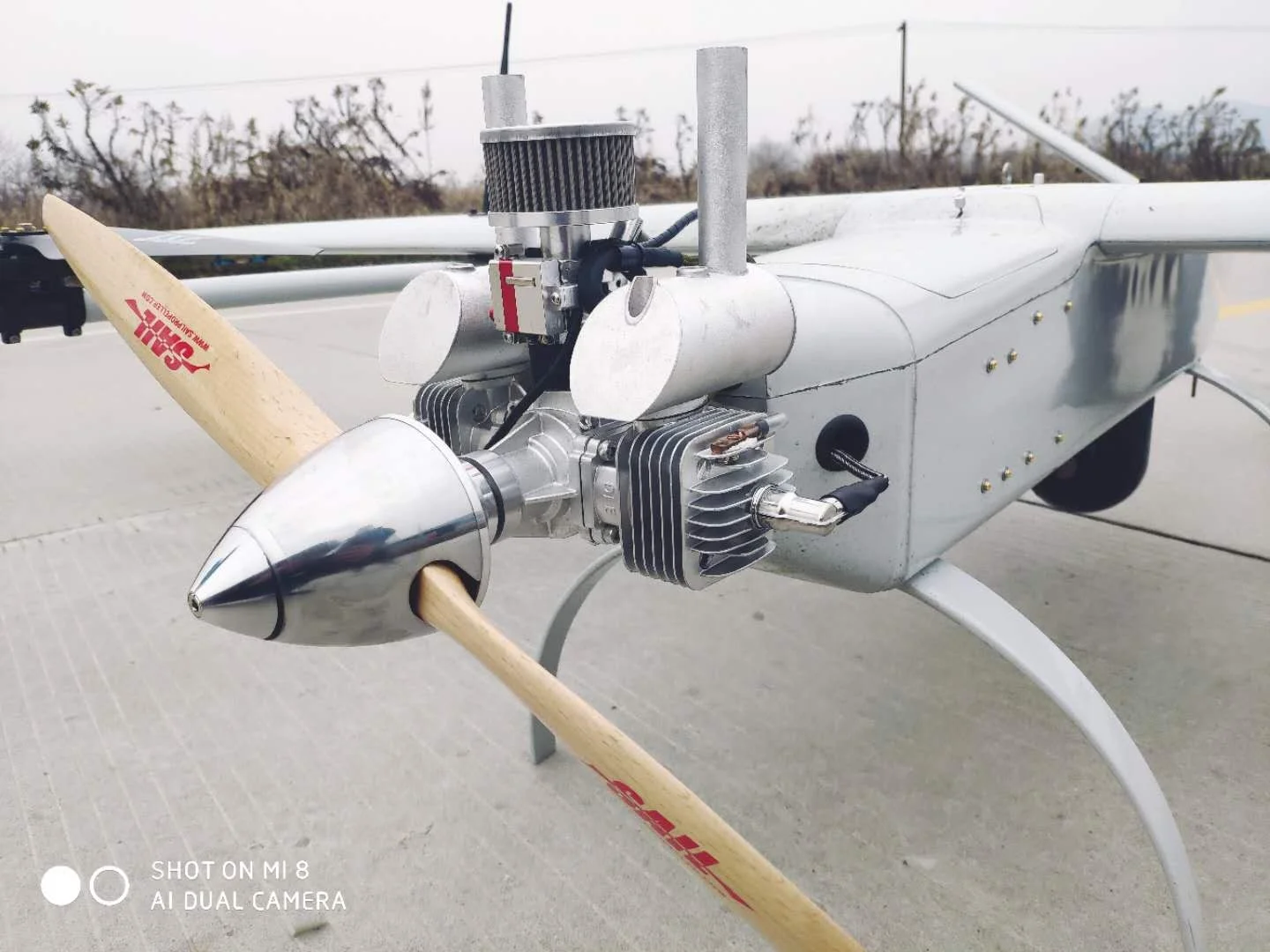
Body layout | Single engine, V tail |
Wingspan | 3600mm |
Climb rate | 5m/s |
Taking off weight | 27kg |
Max Payload | 4kg |
Endurance time | 4hours |
Flight altitude | 4000m |
Cruising speed | 70~120km/h |
Take-off and landing | VTOL |
Wind resistance | 8.0-13.8 m/s |
Control system | ground staion or RC Control |
Function | mapping,surveying,aerial photography |
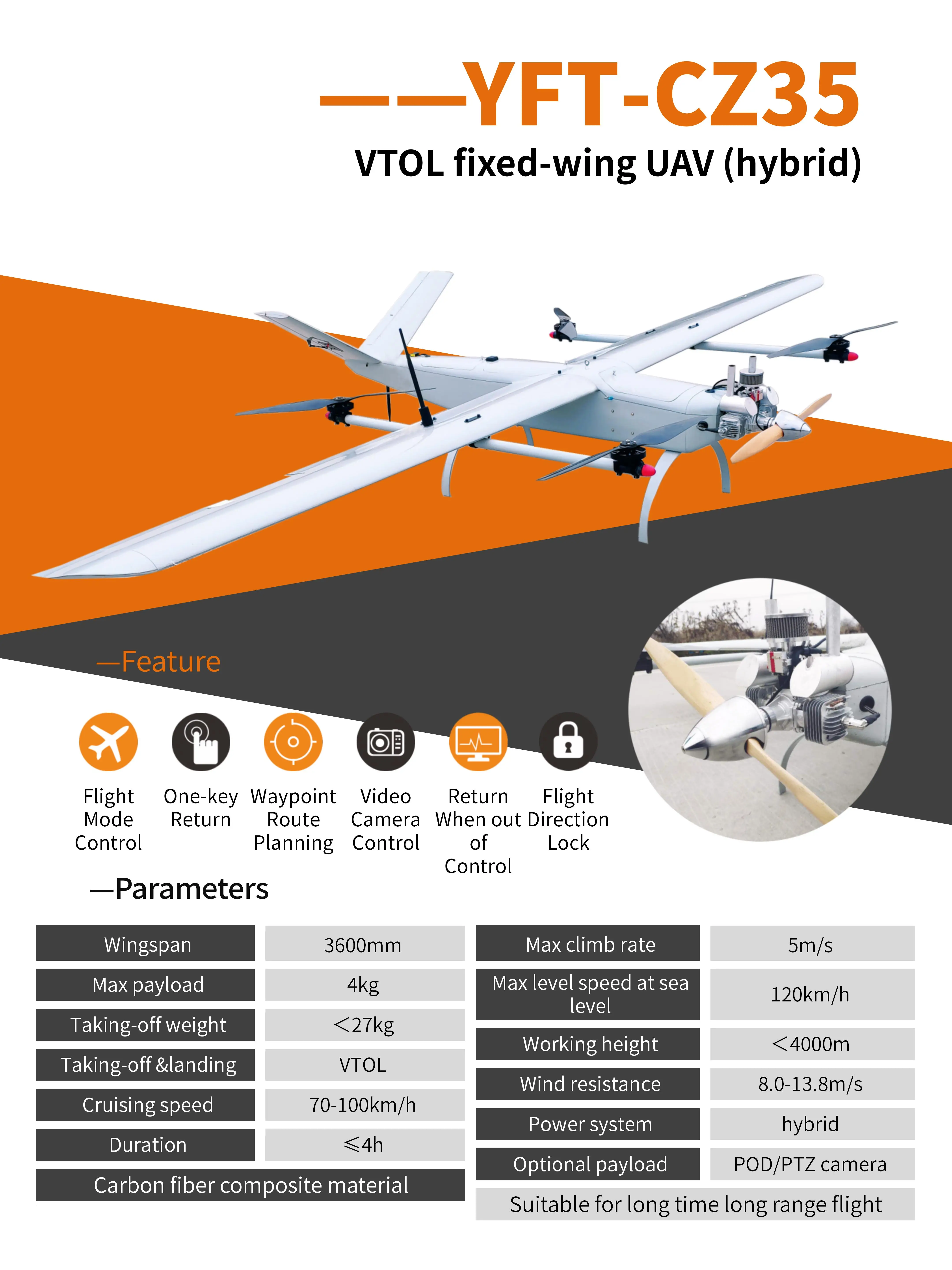
Advantages1)Support the fixed wing vertical takeoff and landing function: greatly reduce dependence on the site, ejection rack, parachute, etc., and the operating site is wide adapted.
2) Flexible flight mode (rotor,fixed wing mode smooth conversion), you can switch in the fixed wing and multi rotor two modes of flight automatically.
3) Carbon fiber, glass fiber, aviation composites, suitable for long - flight, long-distance flight. 4) Duration time is up to 4h, which can achieve super long distance pipeline patrol. 5)Builtin global geomagnetic model and polar flight test magnetic compass calibration algorithm, you can complete magnetic compass calibration, satellite positioning immediately takeoff. 6)Builtin black box data recording function, can be recorded about 60 minutes of flight data. Support for connecting external data loggers, Record up to 2000 hours of flight data.
7) The drone can automatically finish the designed airlines. 8)Emergency protective measures: A variety of emergency automatic processing mechanisms, including low power, engine flameout, too fast falling speed, data link interruption, GPS star loss protection, attitude overshooting and angle overshooting such as abnormal protection. 9)Users can monitor the drone's battery level, electric current and voltage from the ground station. It also has low battery alarm.
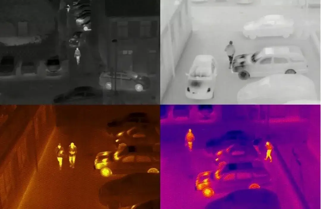
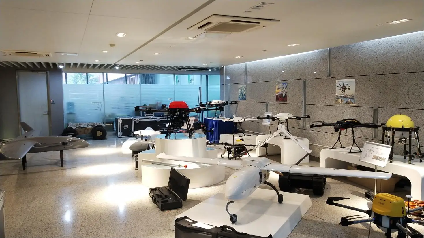
Optional payload

EO/IR Camera
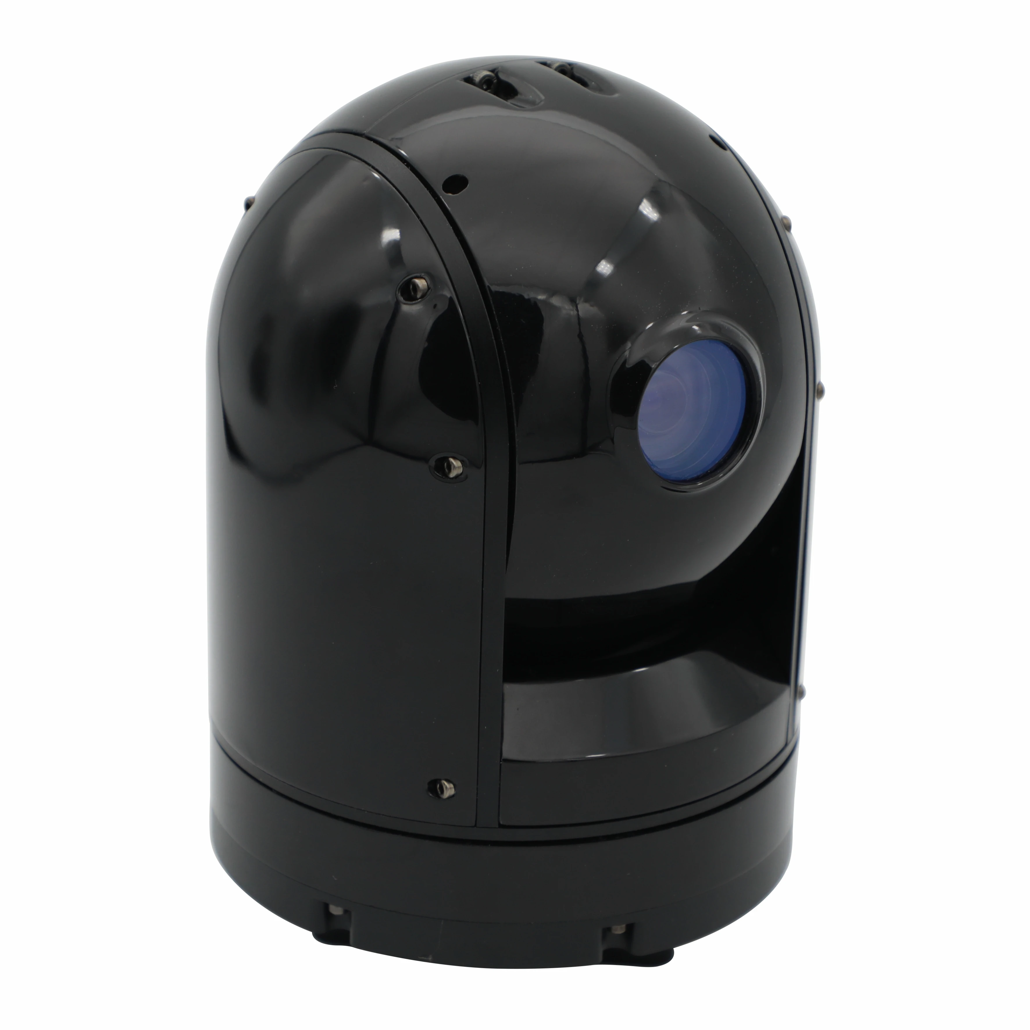
EO Camera
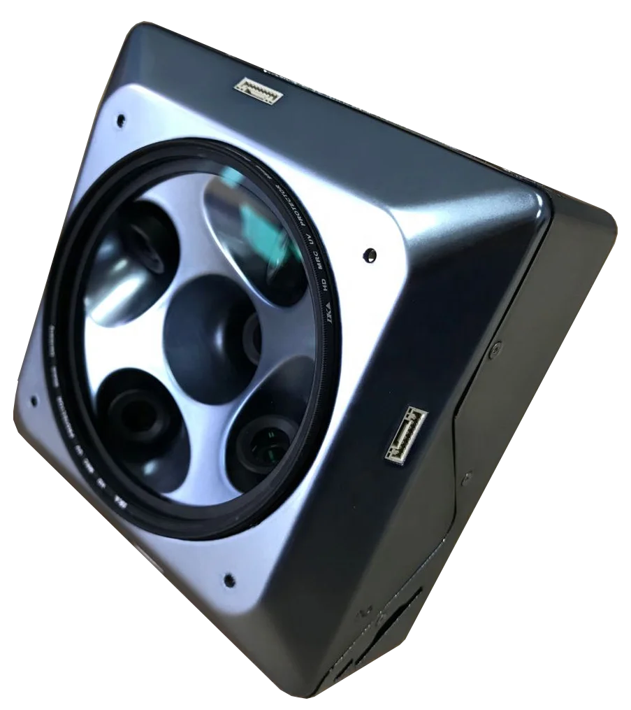
Mapping Camera
Application
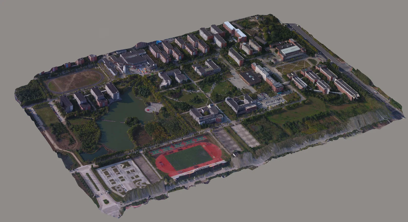
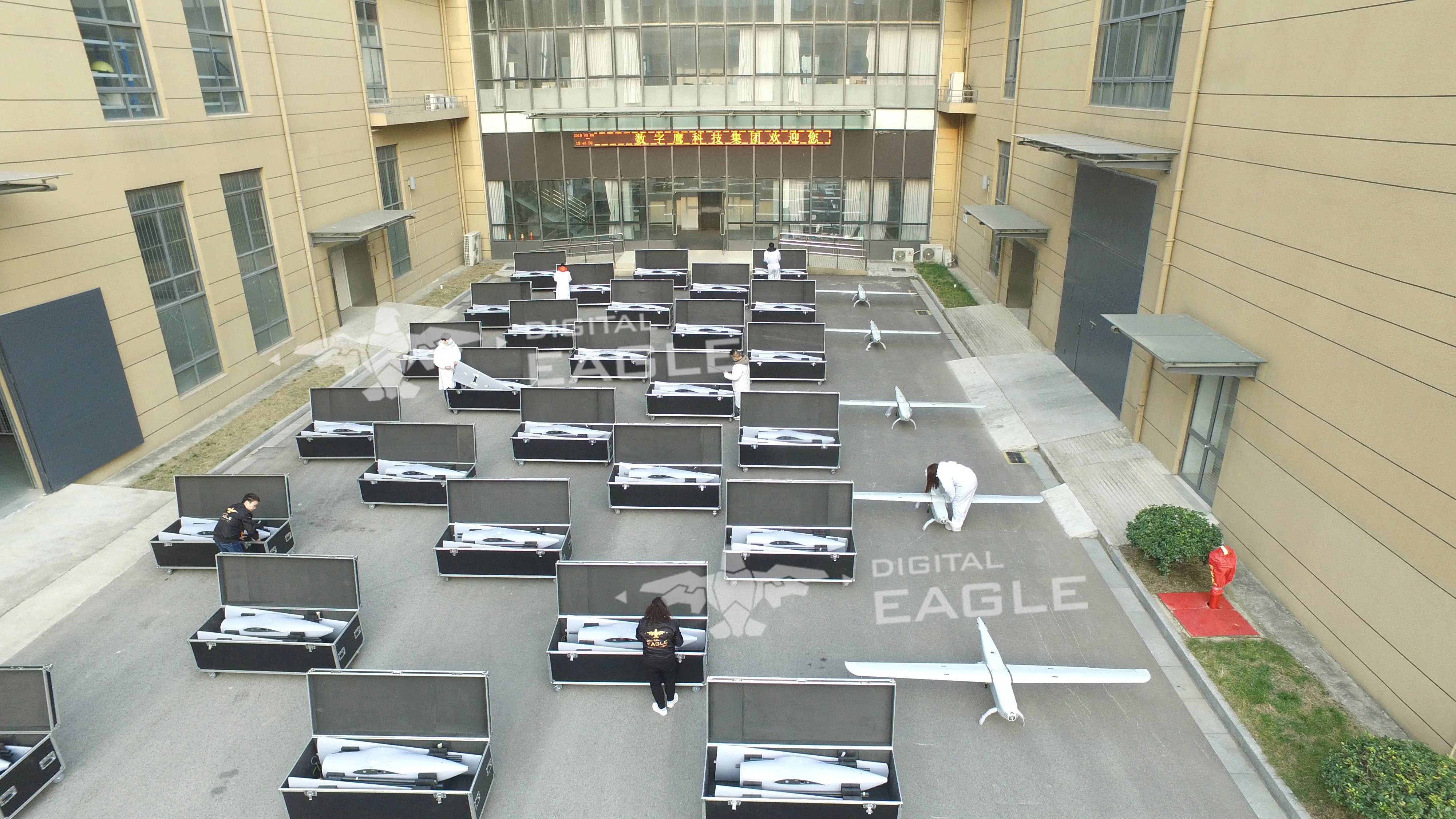
2.Surveying and mapping
UAV surveying and mapping the terrain environment is a new technology used in the field of remote sensing for terrain surveying and mapping, and it is also an important step in 3D modeling in urban construction. The use of drones can reduce the cost of modeling, and the drone has a fast response speed, small body, simple structure, easy to carry, no matter what kind of environment, even the messy outdoor environment has good adaptability, not only It can complete the aerial photography mission of traditional aircraft, and for some areas covered by traditional techniques, drones can also smoothly carry out aerial surveying and mapping, and then perform 3D modeling and analysis on this.

3.Line Patrol
In today's modern society, electricity has become a basic of a country, without power, human civilization will stemp backward nearly a century. therefore, the patrol and maintenance of the power system became a very important cause. DE patrol UAV products. could easily replace complex manual patrol, then to save many manpower and material resources, meantime, improve the precision and accuracy of patrol, to insure the operation of power system.
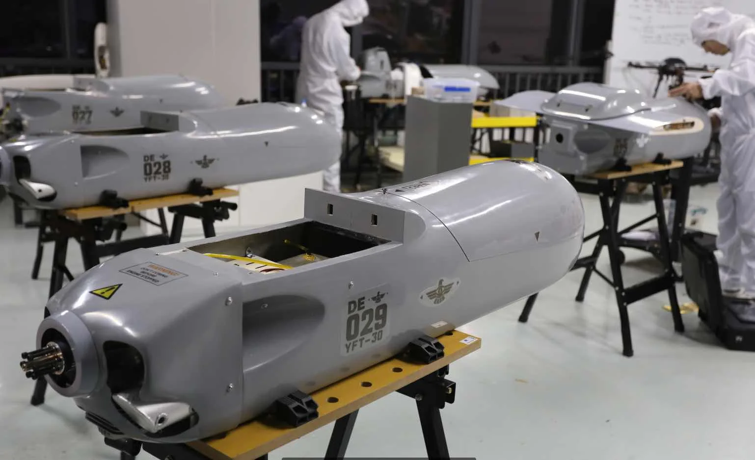
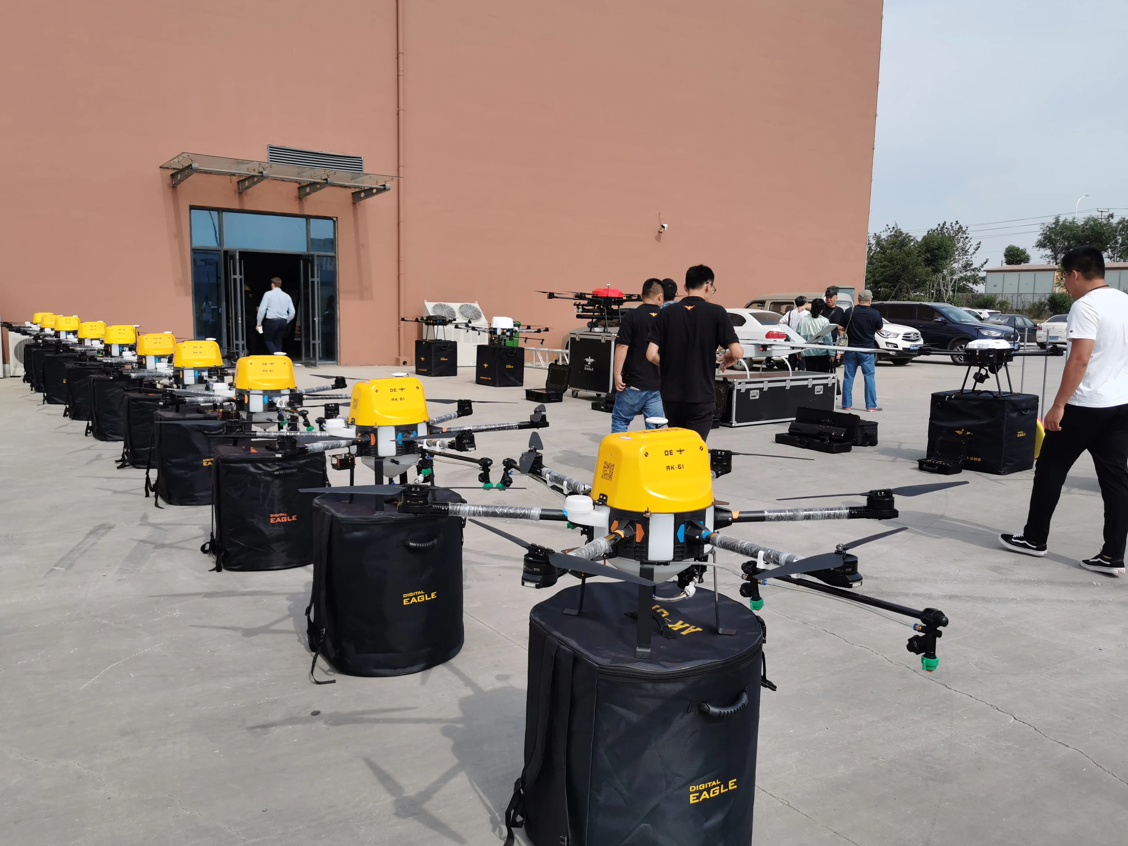
4.Mission payload delivery
DE UAV has the characteristics of large payload and long endurance. The payload ranges from 1kg to 50kg, which can be customized according to customer needs. Logistics drones are widely used in the logistics field.
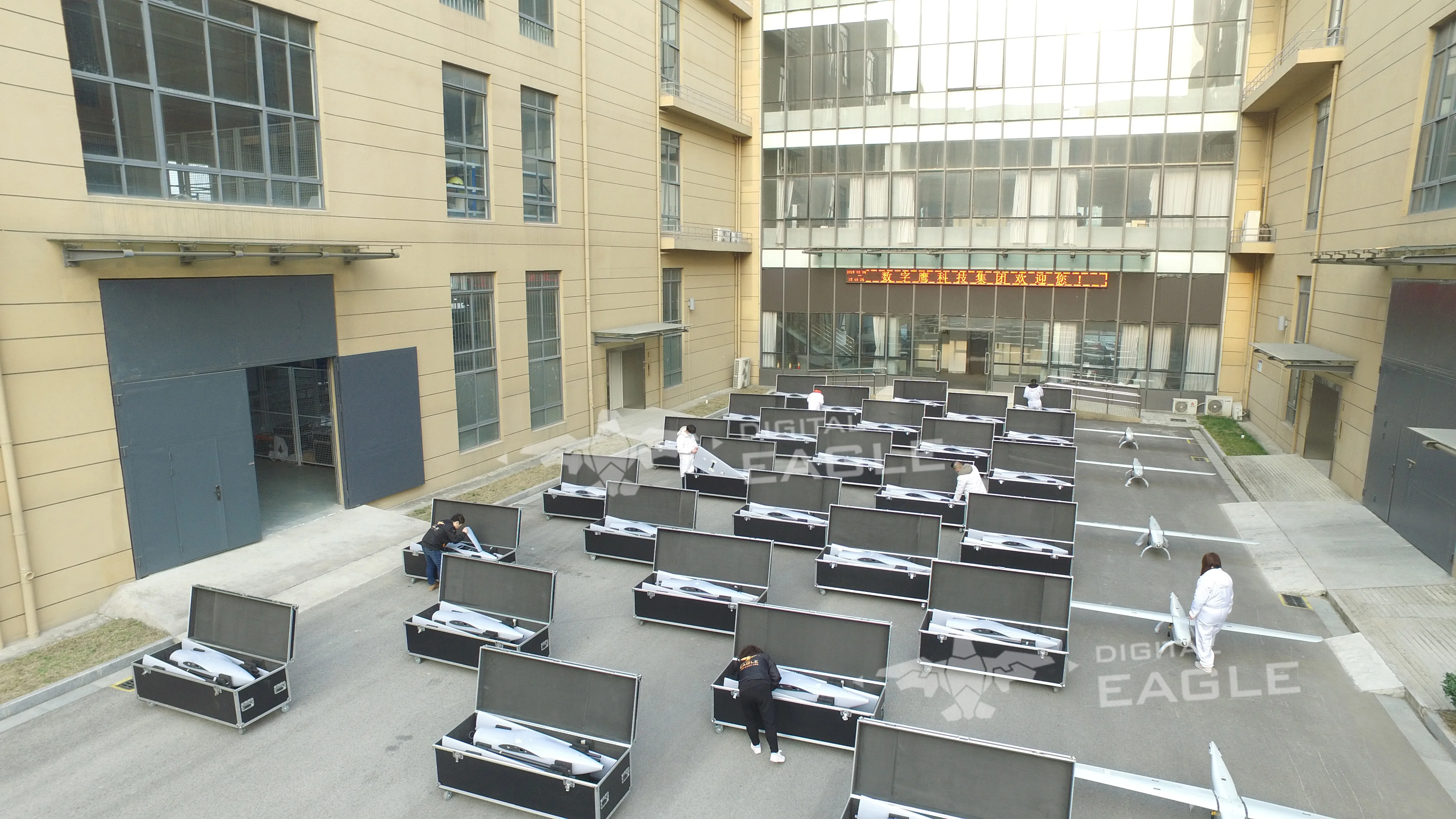
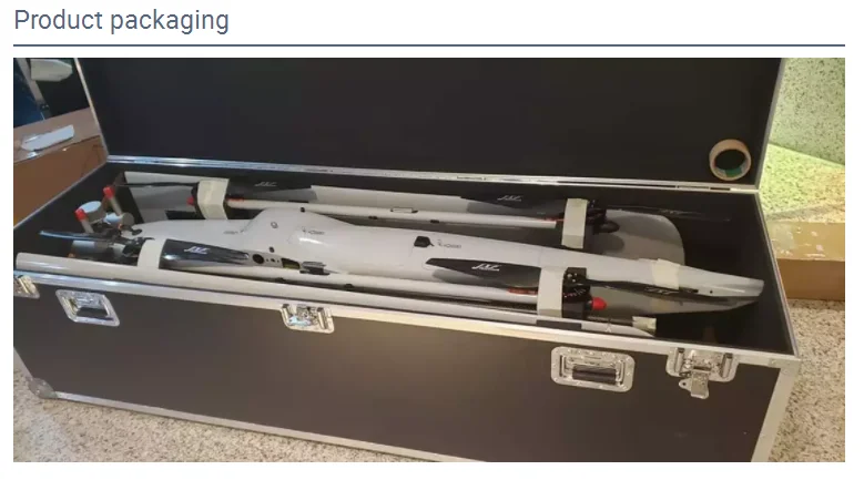
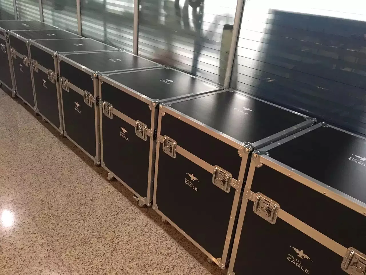
Packing & Delivery
Related Products
YFT-CZ25
YFT-CZ36
YFT-CZ45
Company Profile
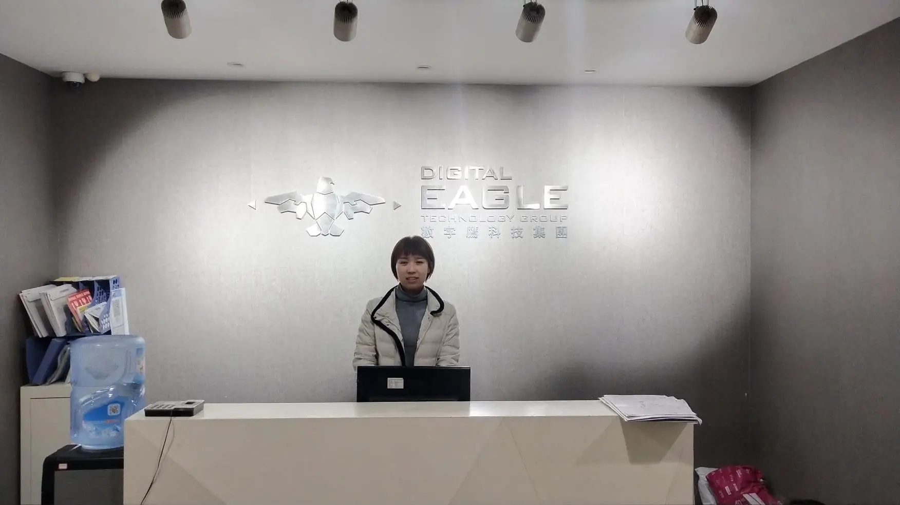
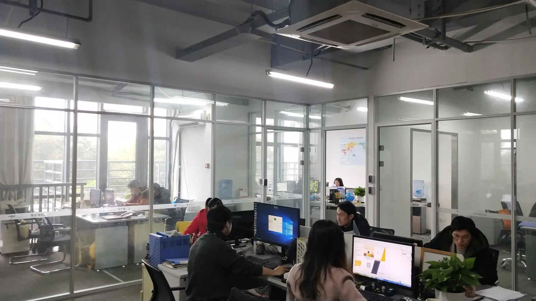
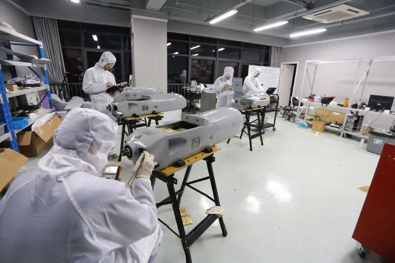
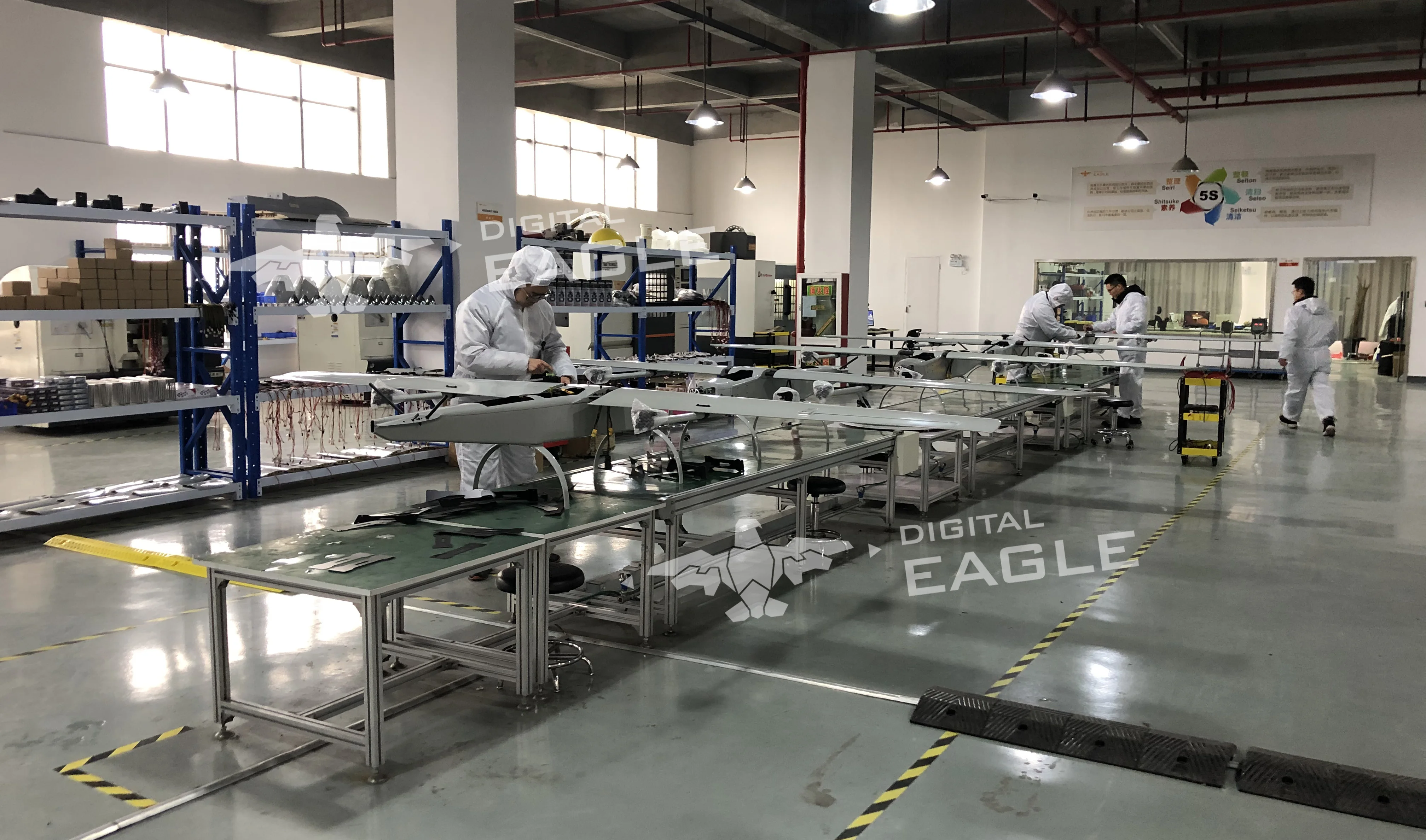
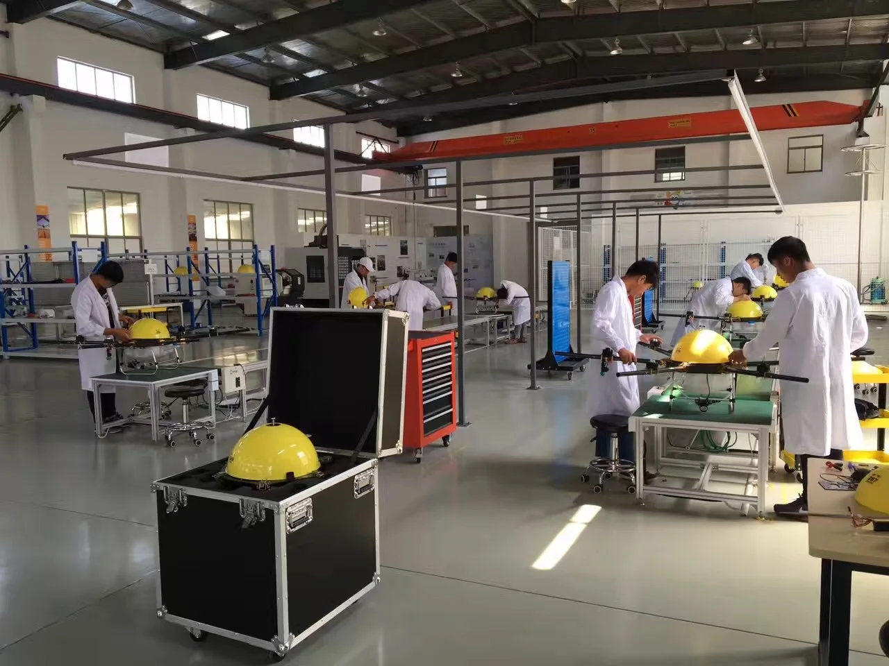
Jiangsu Digital Eagle Technology Development Co., Ltd (DE) is one high-tech enterprise that has independently developed UAV systems and UAV counter systems since 2013, owning R&D center in Wuxi, Factories in Yancheng,Anhui&Qingdao.
At present, DE has formed major production lines for:
- Police security drones
- Agricultural spraying drones
- Anti-drone system
- EO/IR camera
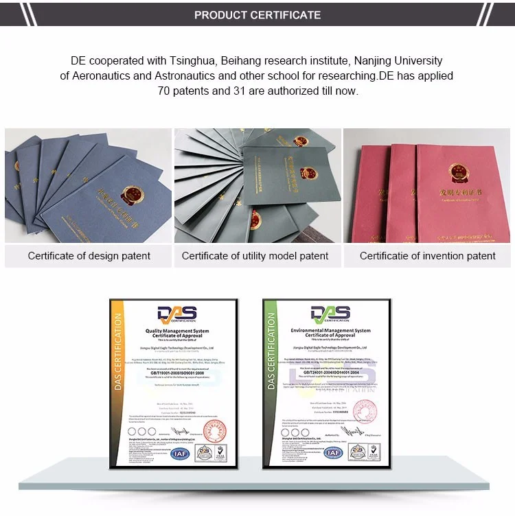
Digital Eagle cooperated with Tsinghua, Beihang research institute, Nanjing University of Aeronautics and Astronautics and other schools for researching, has applied about more than 300 patents. DE has worked with many well-known brand companies and achieved good reputation.
Contact Us


Belum ada ulasan untuk produk ini.
Produk-produk terkait


![Boost Mobile | Apple iPhone 16 Pro Max (256 GB) - Desert Titanium [Locked]. Apple Intelligence. Requires Unlimited Plan.](http://globalshopping-oss.oss-accelerate.aliyuncs.com/globalshop/uploads/172731692314850014.png)

Rp3.859.503


